Current Job: Research scientist
State(s) working in: North Carolina
Where are you from: Durham, NC
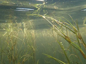
What do you think is the main reason we should protect SAV?
Because SAV has too few advocates, and without more voices speaking up, this critical habitat is at risk of being lost.
How do you feel your research will make a difference in the SAV community?
I hope my research will make a difference by complementing field-based SAV mapping with a consistent, scalable approaches. Satellite imagery can help fill spatial and temporal gaps in places and times where regular mapping is difficult or not feasible, while still working alongside local field expertise. My goal is for this work to support the SAV community with additional information for monitoring, management, and protection of this critical habitat.
What is one of your best memories working with SAV?
One of my best memories working with SAV was running a week-long capacity workshop in the Philippines. It was incredibly rewarding to help make satellite imagery more accessible to more than 50 scientists from across the country. We also conducted fieldwork in a nearby bay, which gave us the data needed to create the first seagrass map of the area in decades. It was a rare opportunity to combine training, collaboration, and on-the-ground science in a way that had a real and immediate impact.
What keeps you motivated to keep caring about the future of SAV?
What keeps me motivated is that I feel satellite imagery is still at the beginning of its potential for SAV work. We’re in a really exciting moment of major advancement in satellite technology, machine learning architecture, and overall technological capacity, and it’s rewarding to be able to contribute during that time. It gives me hope that satellite data can become a real, meaningful tool for understanding the extent and health of SAV, and for helping protect and monitor it moving forward.
More about Megan’s story
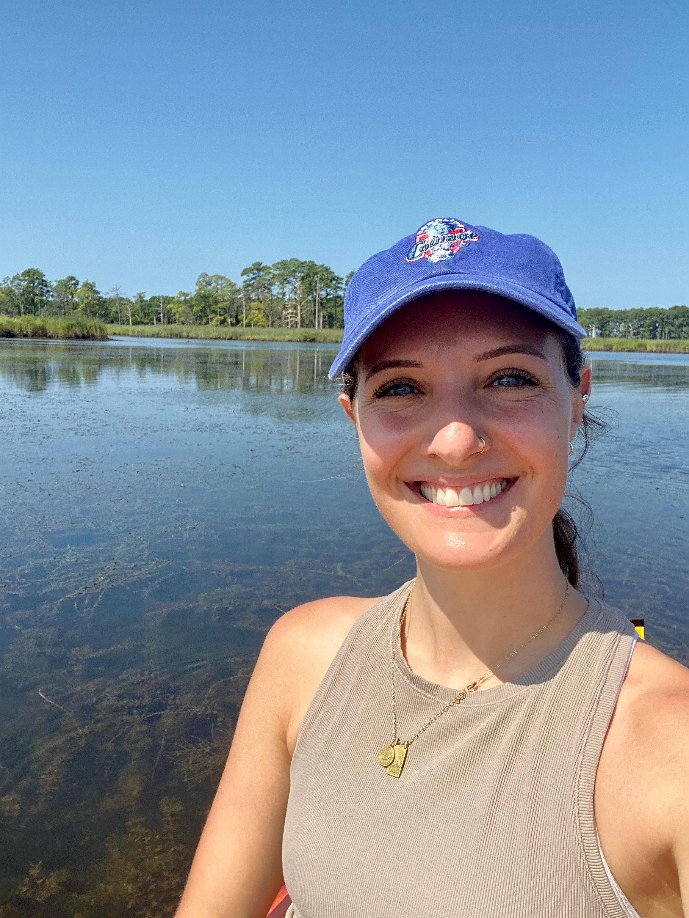
I am a Research Scientist in the U.S. Environmental Protection Agency’s Office of Water, where I focus on using satellite imagery to monitor inland and coastal aquatic systems. My work includes monitoring harmful algal blooms in freshwater systems and mapping nearshore habitats such as SAV and tidal marshes, with an emphasis on developing remote sensing tools that support environmental monitoring and management. I have nearly ten years of experience in satellite remote sensing and have contributed to national-scale water quality research, including the Cyanobacteria Assessment Network and EPA’s broader satellite water quality monitoring efforts. For SAV specifically, my work has helped expand mapping availability across the United States and the Indo-Pacific, while field efforts have also taken me to the Caribbean and Mediterranean.
I am especially grateful for the opportunities I’ve had to collaborate across disciplines and help expand access to these tools. I serve on the United Nations World Water Quality Alliance Advisory Committee, The Nature Conservancy and Earth Genome’s Advisory Committee for A Blueprint for Scalable Seagrass Mapping, and the Group on Earth Observations AquaWatch Management Team and Technical Working Group. I’ve also been honored to receive the EPA Mason Hewitt Award for GIS Technical Excellence, the U.S. Geospatial Intelligence Foundation scholarship, and to be a featured speaker in POLITICO LIVE’s “Out of This World: The Future of Satellite Imagery.” Outside of work, I love soccer—I captained my college soccer team, during which I was nominated for NCAA Woman of the Year, and continue to enjoy the sport as both a player and fan.